
Geography · 30 min
One coast, many interests
Explore coastal land use and possible conflicts between different goals.
01
Take a closer look
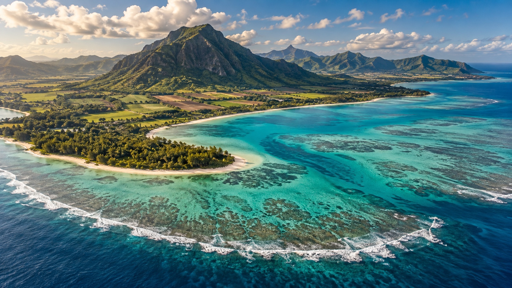
Coasts bring together habitats, settlements, farming and tourism. A decision can affect groups differently. This AI-generated Mauritius illustration is neither a map nor evidence about a specific location.
02
Now try it
- Distinguish visible natural features from possible human uses. Mark uncertainties.
- In groups, design a fictional coastal plan. Explain how you would consider nature conservation, housing and livelihoods.
03
Think it through
Why is a landscape image insufficient for a construction decision?
See a suggested answer
It lacks information such as precise location, ownership, protection status, hazards and local needs. These would need to be checked.